Portfolio
Back
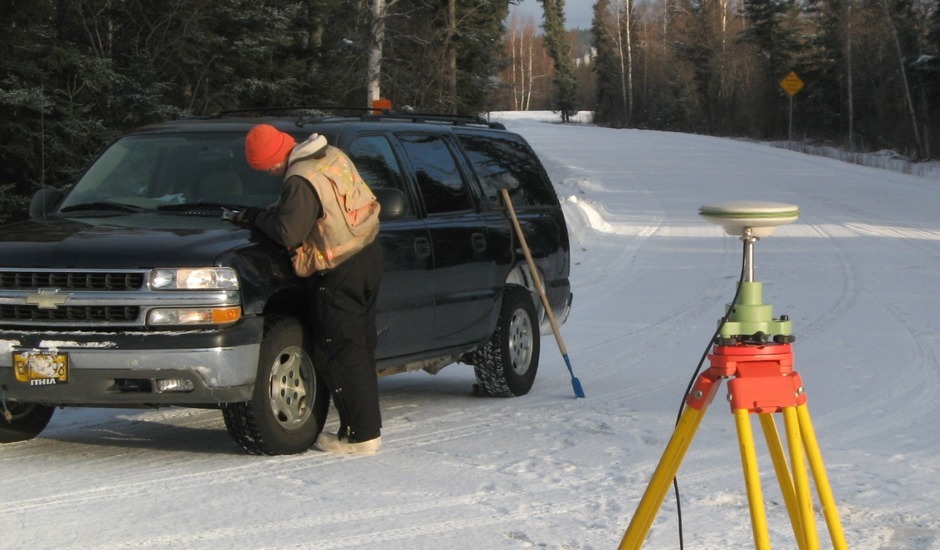


Our survey department uses state of the art equipment in the execution of our surveys. We own five Leica Viva GPS receivers and four 1200 series receivers. The Viva units utilize the GLONASS satellite constellation for superior positioning in northern climates and have built-in RTK transmitters and receivers. The 1200 series units are dual frequency and are also configured for RTK operation. We use fixed-height rods for control surveys and have the equipment and materials to set NGS 3-D drive rod control monuments. Baseline analysis, coordinate system translations, and least square adjustments are performed with Leica Geo Office software.
Project experience includes:
- Survey control for aerial and LiDAR mapping
- Project control for topographic surveys and construction layout
- Boundary and right-of-way surveys
- Remote section breakdowns
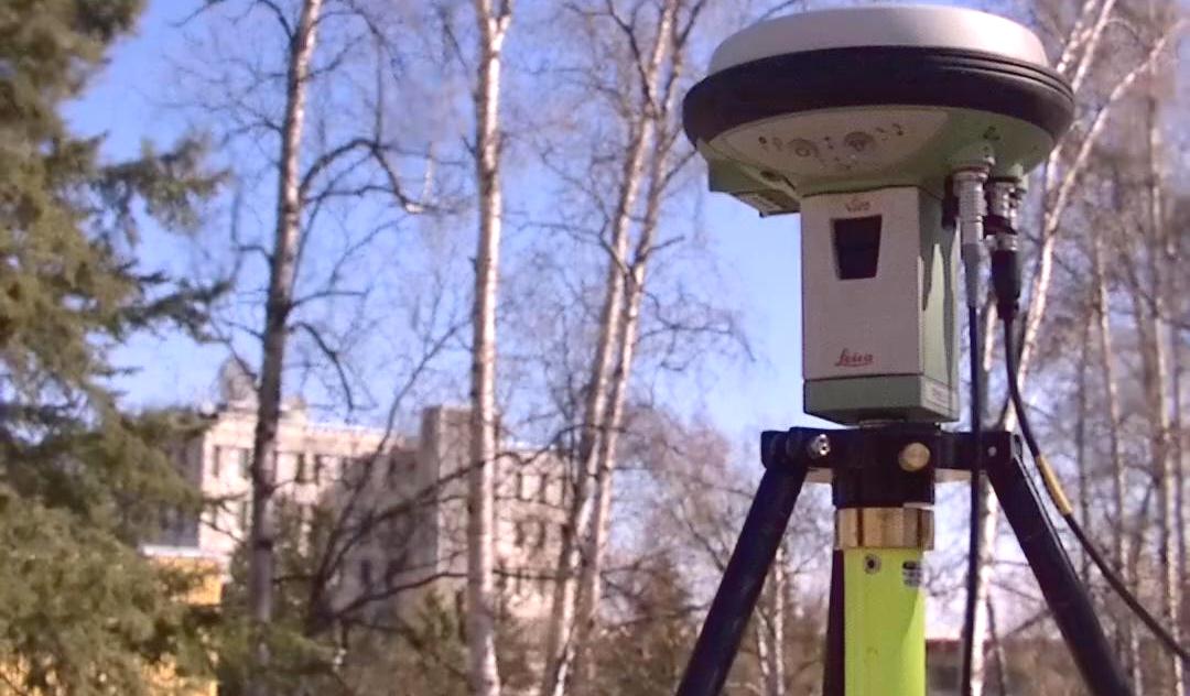